

Ever looked at an old map and thought, "Wait, this used to be called THAT?!" or "Whoa, this whole area was a forest back then?!" Historical maps always spark the imagination, letting us compare the past with the present. But let's be real, ancient maps are often tough to decipher, with faded text, rough drawings, and scarce resources.
Well, get ready to have your mind blown! The X account "地圖とかデザインとか" (@chizutodesign) just dropped a seriously cool new tool called "Rekichizu." It lets users explore Japan's landscapes and place names from 200 years ago with the same ease as using Google Maps. The internet is already buzzing with praise, calling it an absolute game-changer for anyone interested in history walks or urban exploration.
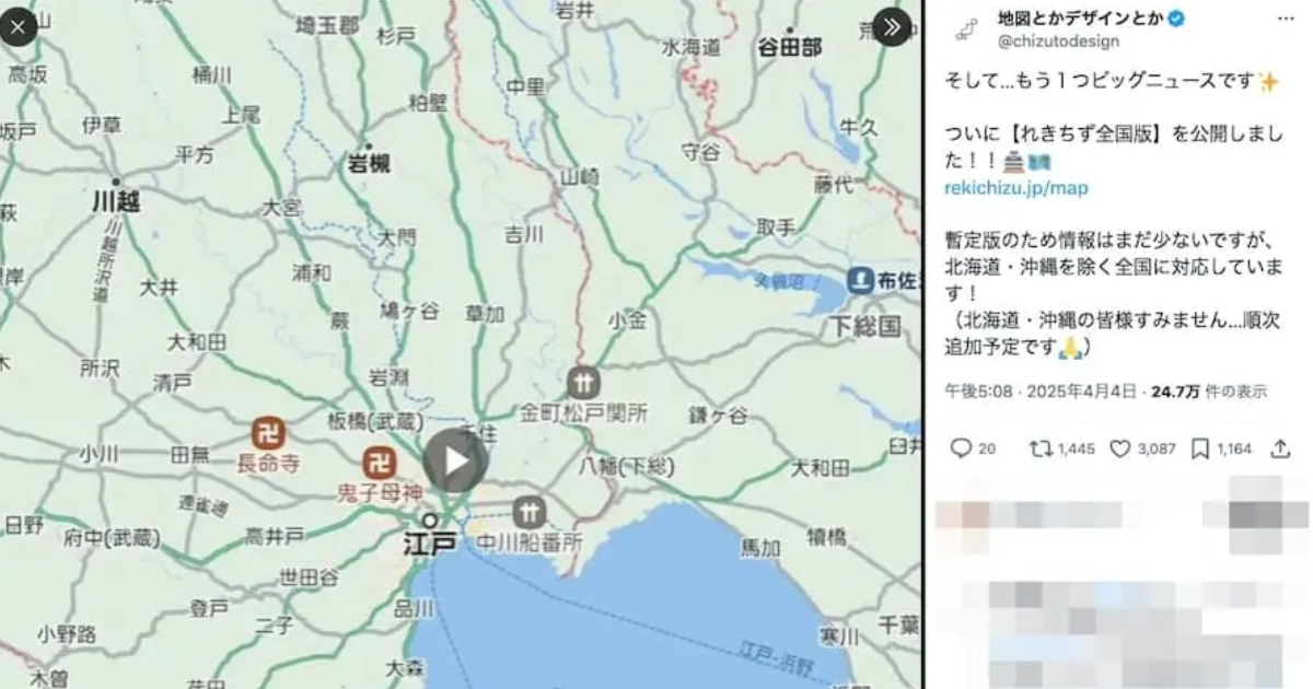
"Rekichizu" is a free online tool that digitizes Japanese ancient maps from around 1800 to 1840, presenting them in a familiar Google Maps-style interface. Users can zoom in and out to check out regional details and even activate GPS to see what their current location looked like two centuries ago!
Currently, the system covers most of Japan, with Hokkaido, Okinawa, and the Amami Islands still awaiting support. But don't fret! The developer has stated that these areas will be added and optimized in future updates.
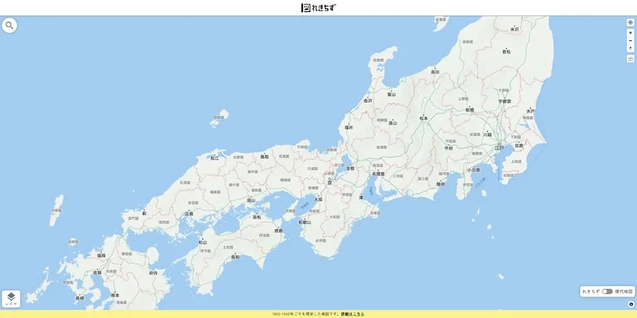
What used to be fragmented historical maps found only in textbooks or archives are now unified in "Rekichizu," making history way more accessible and, dare we say, fun. Users can instantly cross-reference historical place names with modern geographical locations, making it a fantastic reference tool for historical fiction, manga, novels, or even game design.
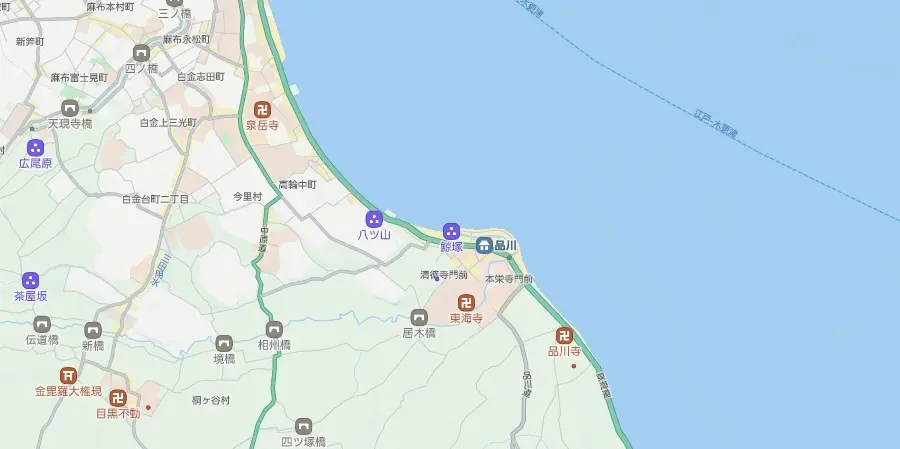
"The changes in roads, villages, and coastlines are genuinely mind-blowing," says developer Kato. "For example, Yokohama used to be a horizontally stretching beach, and Tokyo Bay extended all the way to Shinagawa. What we see today is vastly different from back then."
Kato revealed that the idea for "Rekichizu" sparked in 2019 when he created a historical map in the Google Maps style, which then blew up online on what was then Twitter. From that moment, he embarked on the monumental task of collecting and creating map data.
To date, Kato has consulted over 60 historical sources and personally visited libraries across Japan, including the National Diet Library, to conduct on-site research. It took several years to gradually complete the nationwide version we see today. He even manually traced all approximately 6,400 kilometers of historical roads across Japan in mapping software – an absolutely monumental undertaking.
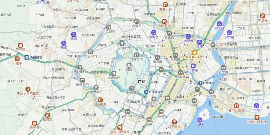
"Rekichizu" also features a toggle function, letting users switch between modern and ancient maps to compare geographical changes and understand the evolution of urban development.
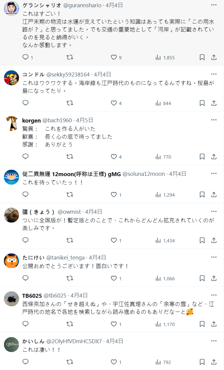
Since its release, it has garnered massive praise from users. While this might seem like a niche interest, the dedication of someone willing to organize such complex data and make it available to everyone is truly inspiring and incredibly respectable.
You can dive into "Rekichizu" for free right now on its official website. If you're curious about the Edo period streetscapes of Japan or just have a thing for historical maps, why not dive in and explore for yourself? You might just discover the fascinating fun of comparing Japan's past and present!
via: X 帳戶地圖とかデザインとか